Geographic clarity
Use recognizable geography, readable routes and deliberate framing to help viewers understand each place.
About Map Animation
We help creators, educators and visual storytellers explain journeys, recorded activities and changing territories with editable map scenes.
“A clear geographic story starts with the places that matter, then gives each one the right order, framing and time.”
Our story
A list of places can tell people where you went, but a timed map can show how the journey unfolds. The challenge is making the route readable while keeping the important details in view.
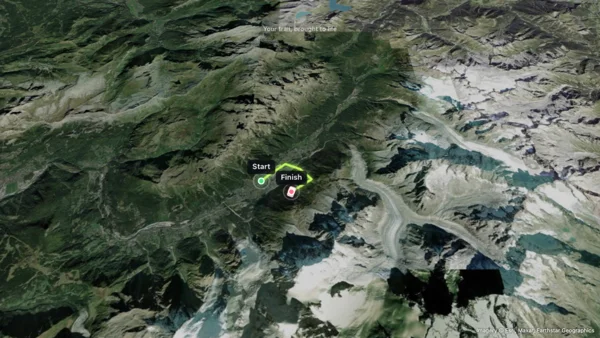
Map Animation brings route drawing, geographic labels and scene timing into one browser workspace. Start from a template or your own GPX track, then shape the map around your explanation.
Our focus is an editable result. You can revisit individual scenes, keep a JSON project backup and export supported image or video files locally. AI can help plan a first draft while you keep the final decisions.
What makes us different
Build a route, replay a recorded activity or explain changing territories. Keep control of the places, labels, timing and camera views behind the result.
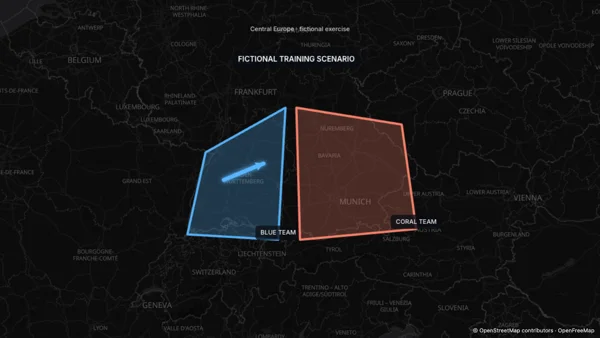
Arrange locations and camera views into scenes. Add labels, paths and annotations to explain the geography behind your story.
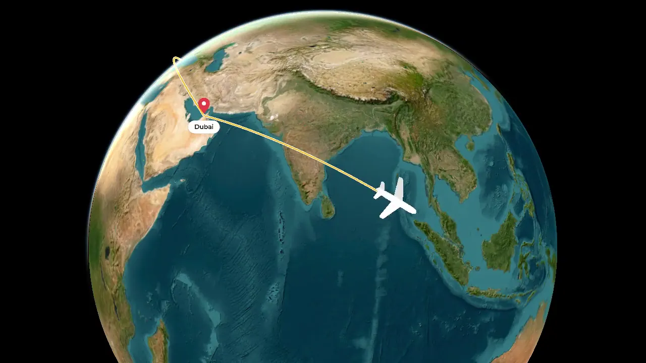
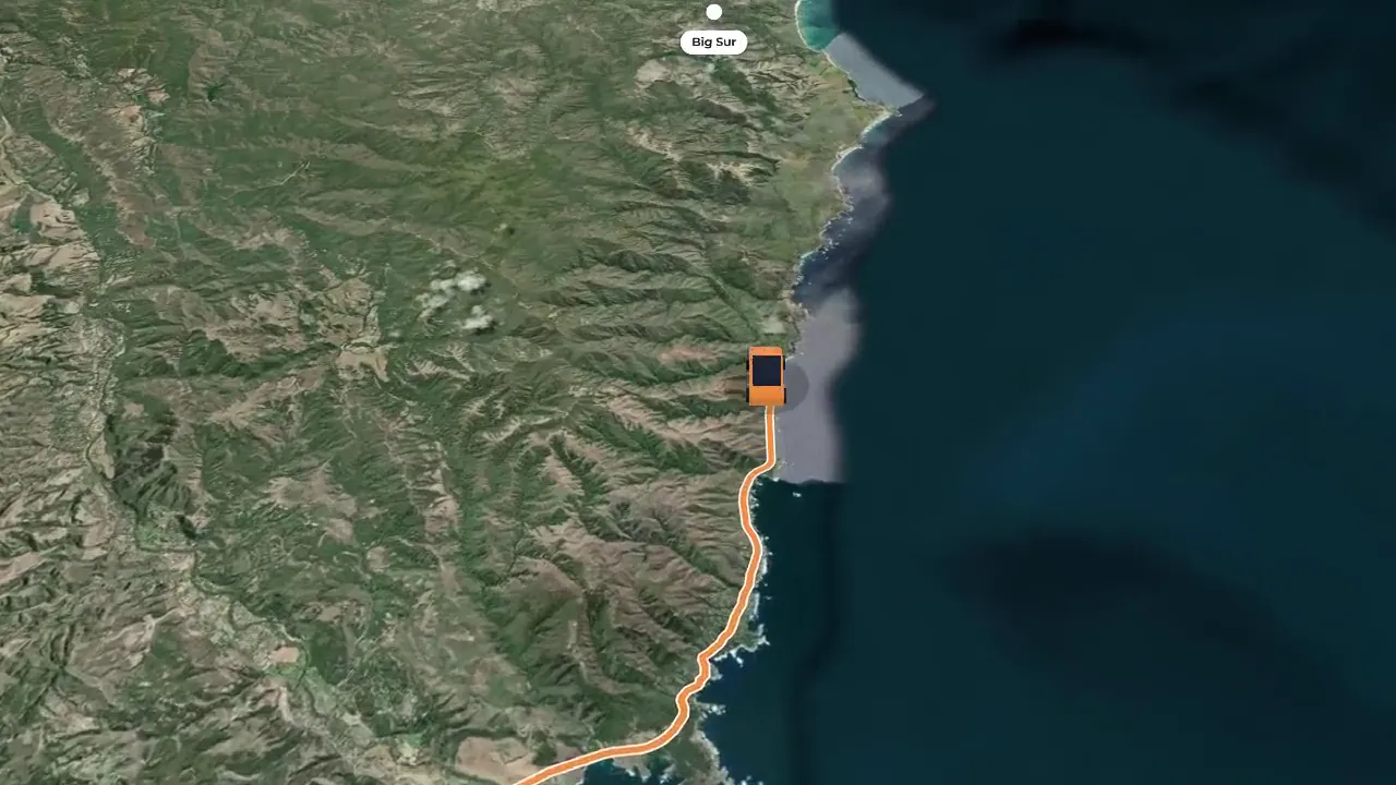
Connect your stops in order, choose a moving vehicle and preview the route before exporting a travel video.
Create editable geographic stories with routes, places and camera scenes.
Change a route, territory, label or scene without rebuilding the whole project. Preview the sequence as your explanation develops.
Compose wide, vertical or square projects, then export supported PNG, MP4 or WebM files from your browser.
Download an editable JSON project as a backup, import it later and continue working on the same scenes.
Our mission
Geographic visuals work best when the audience can follow them. Our goal is to make routes, places and changes easier to communicate through editable maps.
Use recognizable geography, readable routes and deliberate framing to help viewers understand each place.
Every tool serves a concrete storytelling task: routes, activity replays, explanatory maps or changing territories.
Focused workflows reduce the steps between a visual idea and a usable asset.
AI supports the process while your idea, direction, and taste shape the result.
Start with a template or your own places. Edit the map, direct the camera and export a sequence for your next video.
Have a question or an idea to share? support@mapanimation.org